Planinsko polje – where the river disappears and history remains
A river winding across meadows, a palace open to the sky and a border that once divided a home from its mill. Discover a landscape shaped by water and the people who learned to live beside it.
A landscape with more than one face
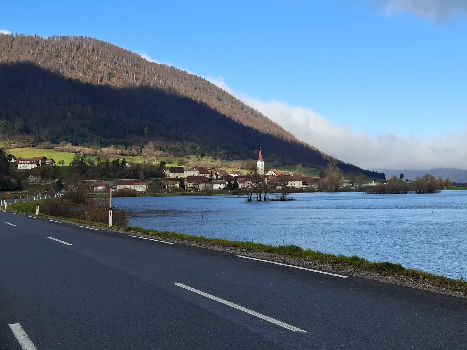
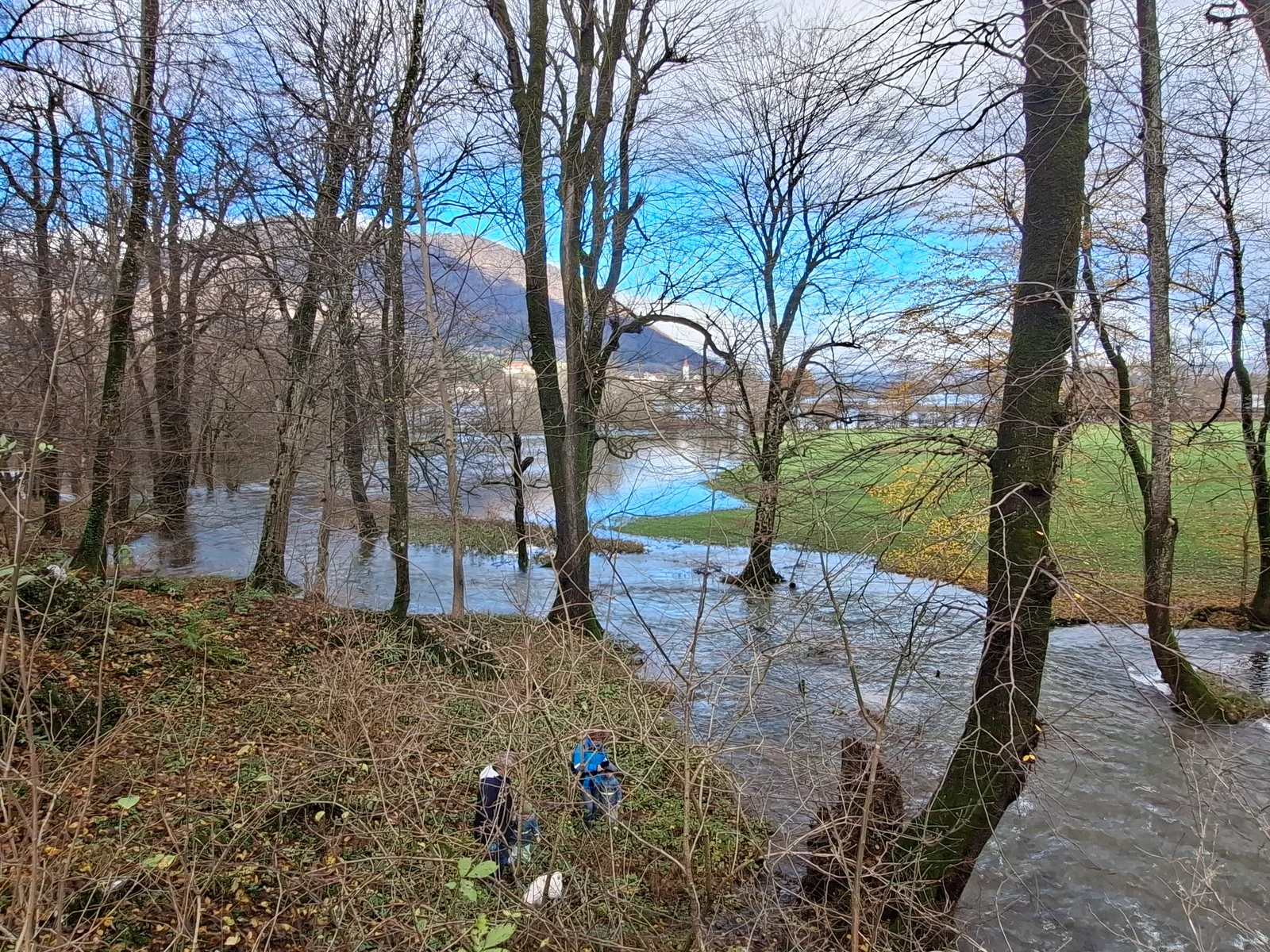
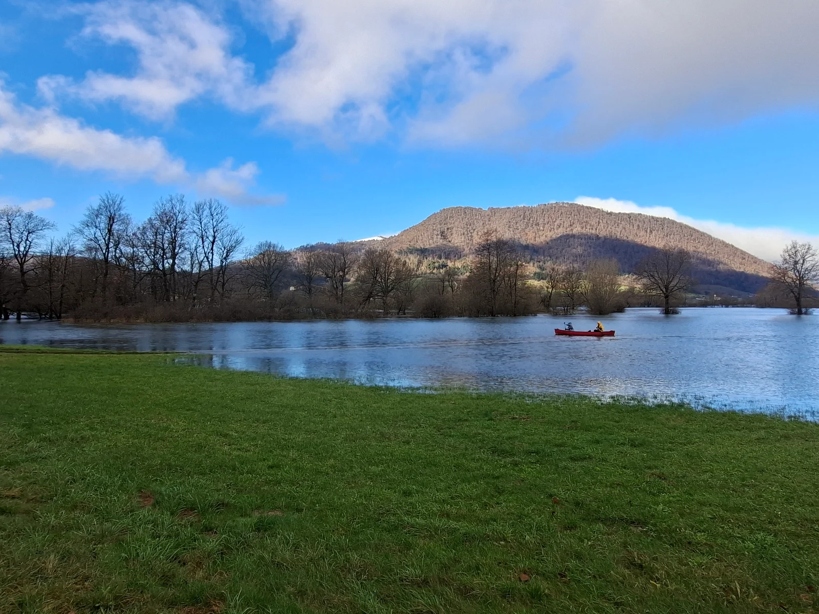
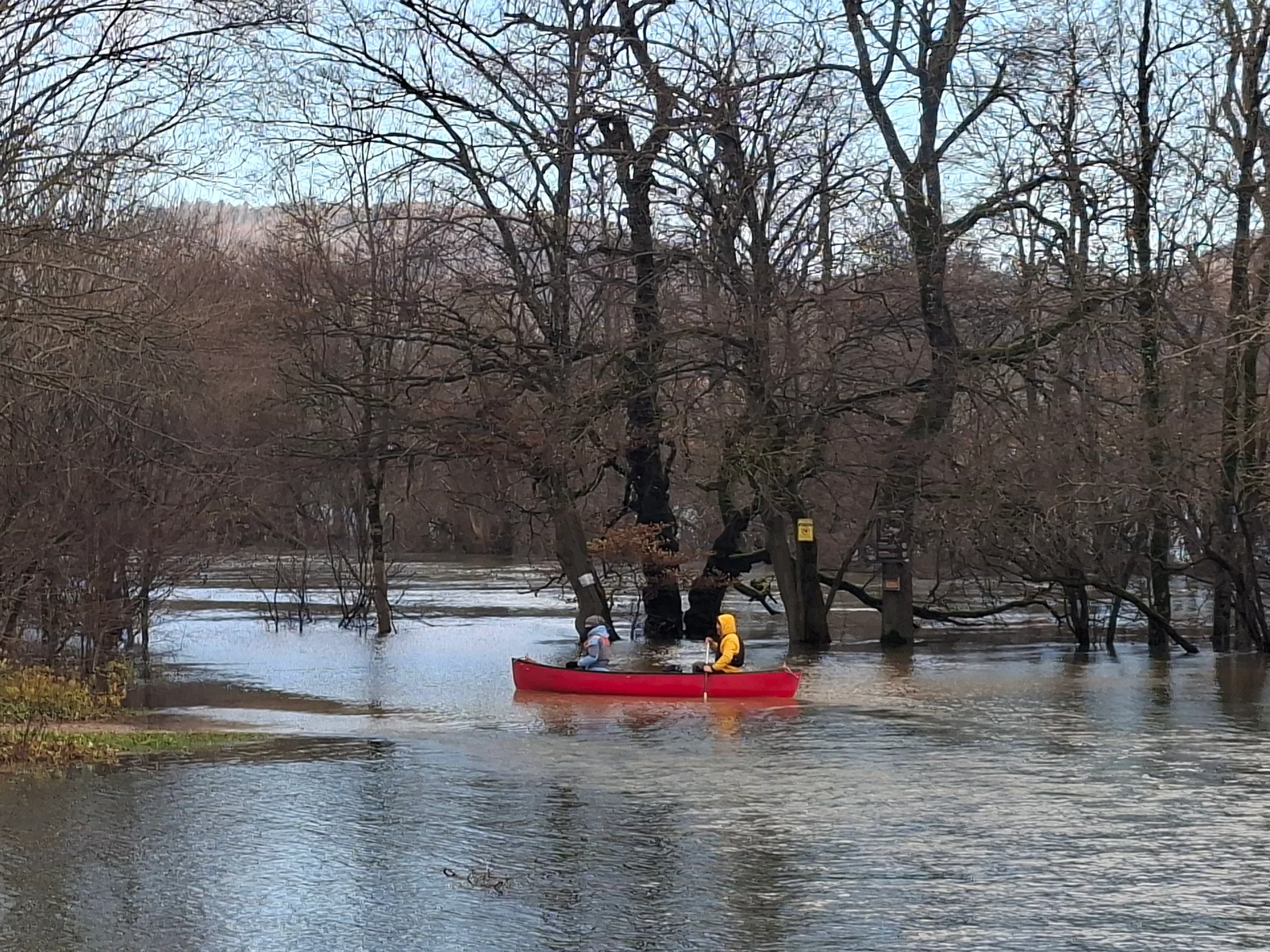
On Planinsko polje, the line between meadow and lake is temporary. At lower water levels, the Unica draws long bends through the flat valley floor. When water arrives faster than the underground outlets can carry it away, the river spreads across the meadows. The photographs capture one of those watery faces of the polje; another visit may reveal a very different landscape.
This is a karst polje: a broad depression shaped by the long interaction of water and soluble rock, with a sediment-covered floor and drainage that continues underground. Houses and cultivated land around its higher margins tell their own story of adapting to floods. Changing water levels give the same landscape a different rhythm through the seasons.
Two underground rivers become the Unica
The water here belongs to the wider Ljubljanica catchment. The Pivka, arriving through the Postojna cave system, meets the Rak from Rakov Škocjan inside Planinska jama. Their confluence gives rise to the Unica, which emerges into daylight, meanders across the polje and disappears again into sinkholes. The surface river is only one visible chapter of a much larger underground story.
Planinska jama therefore connects two landscapes that can look separate on a road map. Its significance lies as much in the meeting of waters as in the scale of its chambers. Visitor information checked on 14 November 2026: the cave is closed for bridge renovation, with reopening planned for 1 April 2027. Check the cave operator’s current notice before travelling.
Haasberg: architecture still present in the ruin
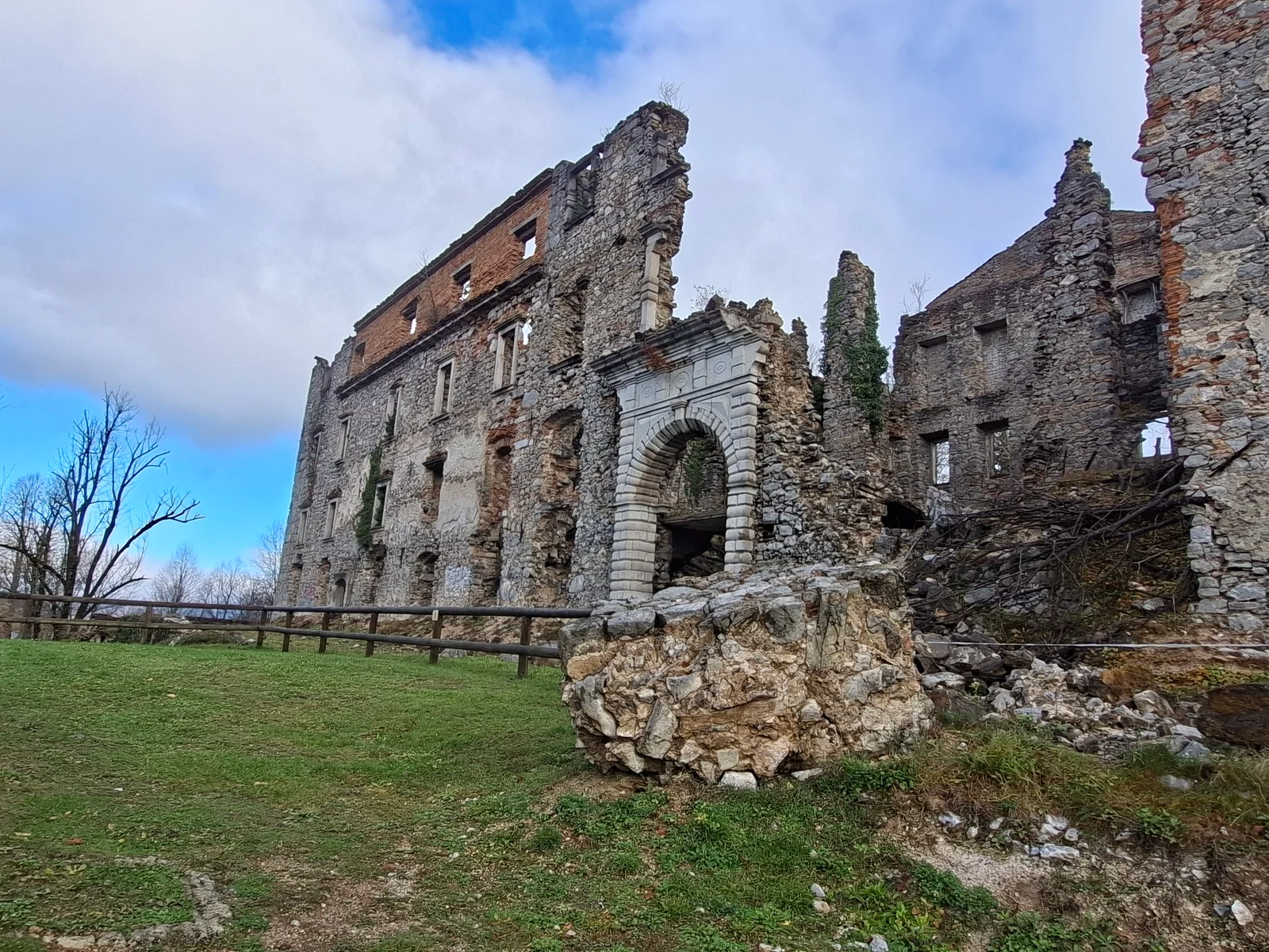
Below the site of the older hilltop castle stands Hošperk, also known as Haasberg. The later residence took on its distinctive Baroque character under the Cobenzl family; in 1846 it passed to the Windischgrätz family. The surviving façade, terraces and relationship with the surrounding landscape still suggest the scale of the former estate.
The manor burned in the spring of 1944. The Notranjski muzej attributes the fire to the Dolomitski odred after German troops withdrew. Today the roofless walls stand as a ruin. Recent conservation efforts and discussions about stabilisation seek to safeguard what survives. How to preserve the complex meaningfully remains an important question for this landscape.
A house in one country, its mill in another
The Treaty of Rapallo was signed in 1920 between Italy and the Kingdom of Serbs, Croats and Slovenes. Later local adjustments brought Haasberg onto the Italian side in 1925. For people working on the estate, a familiar journey could now mean crossing an international frontier.
The historical trail records a particularly revealing case in Malni: Janez Modrijan’s house stood in Italy, while his mill and sawmill were on the SHS side. Special customs arrangements were needed to keep goods moving to the mills. The border also affected school, worship and everyday visits. Even its guards had to adapt to the polje’s water, using boats during floods.
Forests, wheels and the road to Trieste
Planina grew at a meeting of routes towards Logatec, Cerknica and Trieste. A postal station and the improved nineteenth-century road helped sustain its role as a stopping place. Timber and other goods travelled along these routes, linking the inland estates, sawmills and cart roads to the Adriatic port.
Furmanstvo, the world of horse-drawn haulage, supported more than the carters themselves. Smiths, wheelwrights, saddlers and innkeepers all depended on those journeys. Large courtyards, stables and projecting roofs sheltered teams and carts; the substantial houses and stone portals still make that earlier economy visible. Inns were places for rest and the care of animals as well as food.
Above the polje: Planinska gora
Woodland paths and meadows lead towards the pilgrimage church of Mary and the viewpoints of Planinska gora. Grmada reaches 873 metres, with a wooded summit and open viewpoints along the way.
From above, the shape of the polje and the relationship between settlement, water and higher ground become easier to read. Remains of the interwar Alpine Wall add another historical layer to the mountain.
Ravbar’s tower and life beside the water
Near Planinska jama, Ravbarjev stolp is the surviving cylindrical tower of Mali grad. Its first written mention dates to 1444. The name recalls the Ravbar family, and a late-Gothic chapel preserves a ribbed star vault. The official destination page currently lists the interior as closed for renovation; the exterior remains part of the landscape.
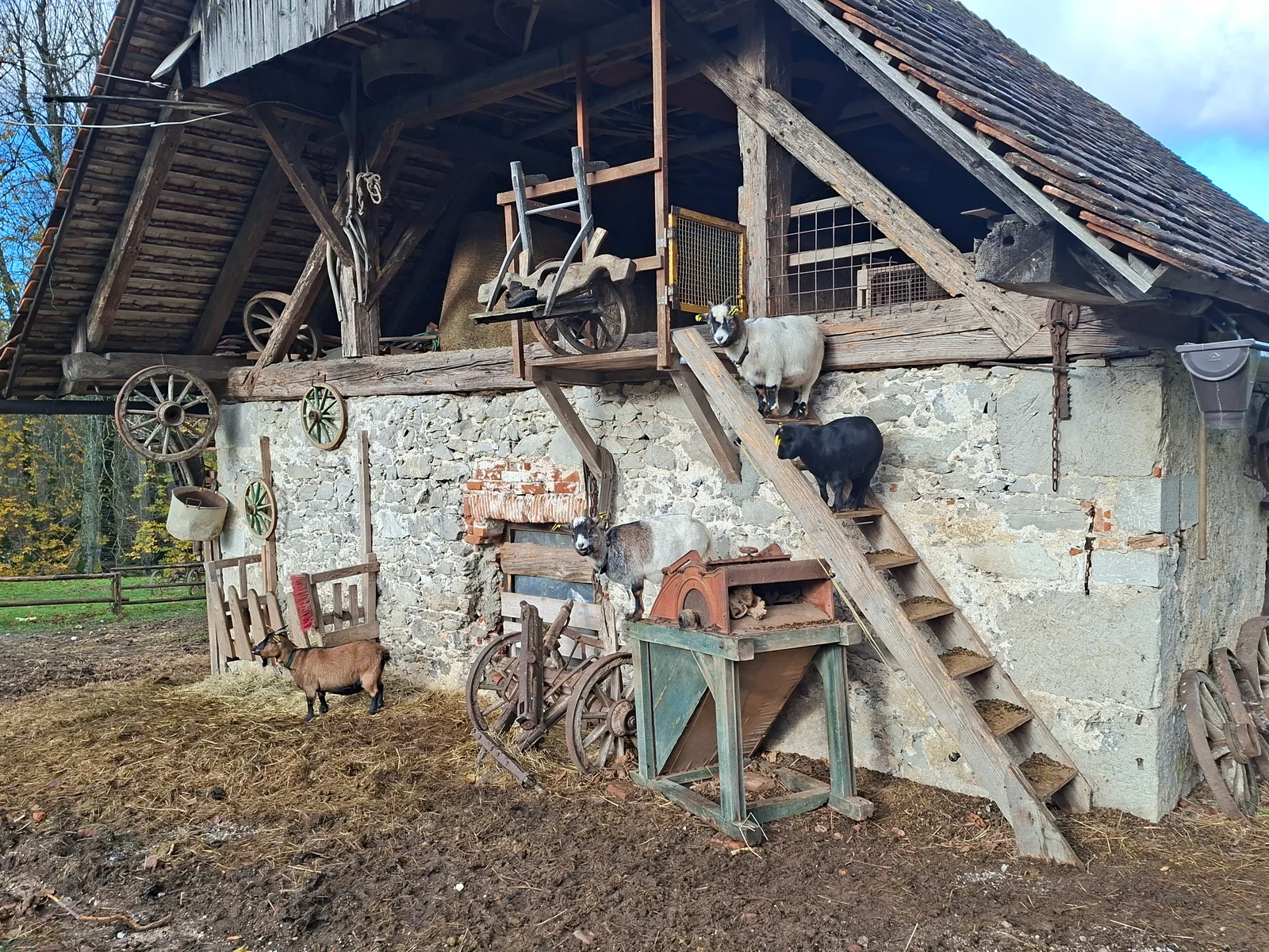
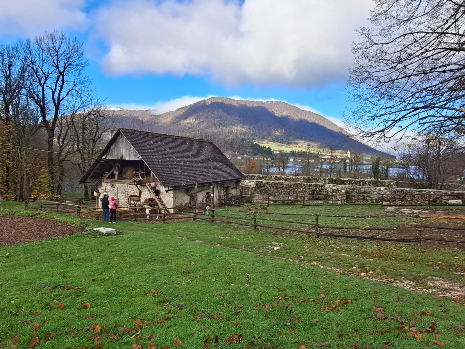
The larger story also survives in modest buildings, tools and traces of water-powered work. Mills, sawmills and farm outbuildings connect the impressive monuments to everyday life. The Unica was never simply a view: its changing level shaped work, crossings, property and the rhythm of the settlement.
A place to read slowly
Planinsko polje rewards attention to connections: a river entering the ground, a road leading to a port, a frontier cutting through a working property. The ruin and the meadow belong to the same story. What disappears beneath the surface often explains what remains above it.
Photographs by Rok Jarc.
A landscape in details